Scroll
GPS hardware · Location APIs · Map data
Location infrastructure for the real world.
Farun gives teams two ways to build with location: GPS Navigator hardware for vehicles and field crews and APIs for routing, maps, search, and reachability inside your software.
PLATFORM ACTIVE - HARDWARE + API READY
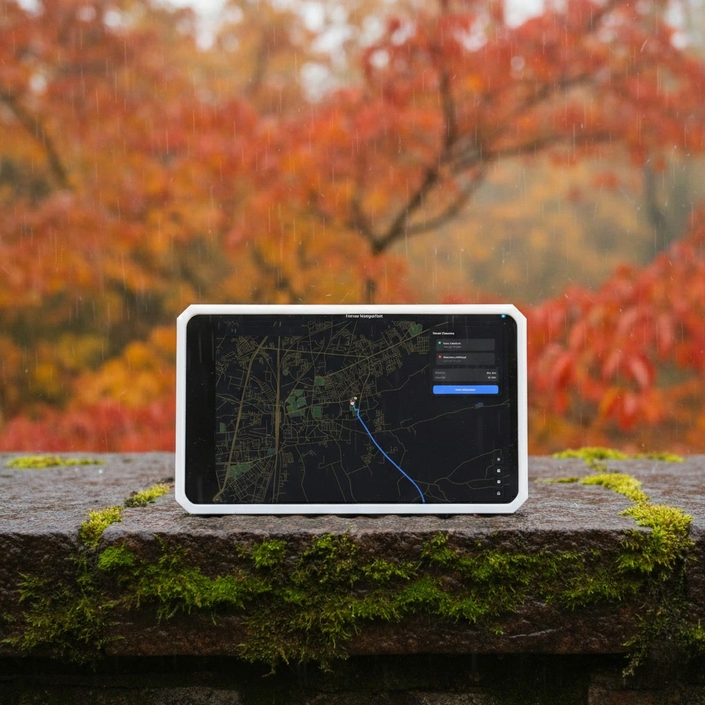
Overland Mode
Precision GNSS Live
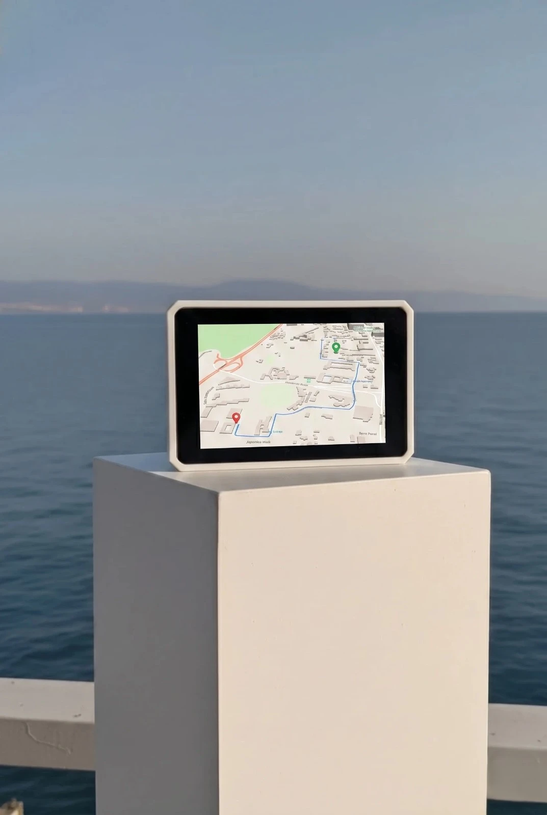
Maritime Mode
Standby